
Better tech for the beach
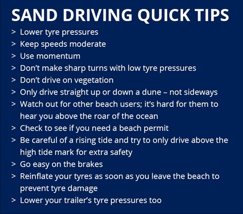
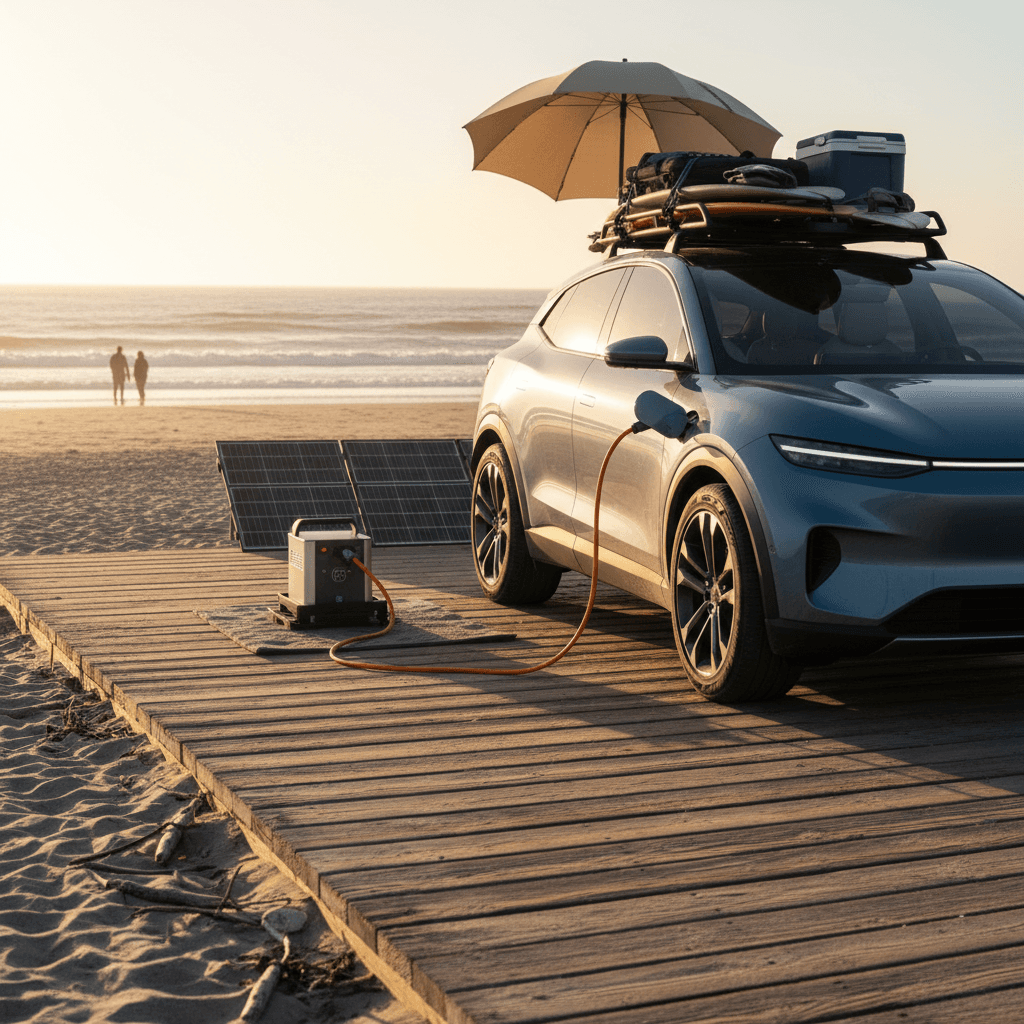
Beach driving is booming. More people are discovering the freedom of accessing remote coastal areas with their vehicles, but it’s never been a simple undertaking. Beyond the initial investment in a capable 4x4, there’s a learning curve – understanding tides, sand conditions, and vehicle limitations. It's a world away from paved roads.
Success used to depend on a good gauge and a buddy to spot you. Now, tech is stepping in. It isn't about replacing your skills, but giving you tools that handle the guesswork of soft sand.
The core of this change is the application of AI and advanced sensor technology. These aren't just refinements of existing systems; they represent a fundamental change in how we approach beach driving. Issues like predicting optimal tire pressure for varying sand types, or navigating without reliable GPS signals, are now being tackled with increasingly sophisticated solutions. It’s a move towards smart beach driving.
AI tire pressure: more than just a gauge
Standard tire pressure monitoring systems (TPMS) are okay for pavement, but they fall short on the beach. They typically alert you after you're already experiencing a problem—a significant pressure drop due to running too high on soft sand, or a potential rollover risk from going too low. They lack the predictive capability needed for optimal performance.
AI-powered TPMS is different. These systems move beyond simple pressure readings and utilize machine learning algorithms to anticipate ideal pressures. They analyze data like sand type (estimated through GPS location and vehicle behavior), vehicle load, speed, and even ambient temperature. Some systems connect to databases detailing beach conditions reported by other users. This allows them to suggest adjustments before you encounter trouble.
We’re starting to see systems that don’t just recommend adjustments, but automatically make them. Companies like Overlund are experimenting with integrated systems that use onboard compressors and electronically controlled valves to adjust tire pressure on the fly. The cost is substantial – upwards of $2,000 for a complete kit – but the convenience and safety benefits are clear. Emerging sensor technologies, like those using fiber optics embedded in the tire, promise even more precise pressure and temperature readings.
The data collected is also valuable. Logging tire pressure alongside GPS data can help drivers learn what works best for their vehicle and driving style on different beaches. It's a feedback loop that constantly improves performance and reduces the risk of getting stuck or damaging your vehicle.
- The system identifies if you are on dunes or mudflats.
- It calculates the right PSI based on how heavy your rig is.
- Automatically adjust tire pressure via onboard compressor
- Log data for future analysis and learning
GPS that actually works on sand
Standard GPS navigation is notoriously unreliable on beaches. The tree cover and open sky requirements are often absent, and the signal can bounce off sand dunes, creating inaccurate readings. This makes relying on conventional GPS for beach driving potentially dangerous.
New GPS navigation systems are designed specifically for these conditions. They utilize high-definition maps created using LiDAR (Light Detection and Ranging) technology, which creates detailed 3D models of the beach environment. These maps identify safe routes, potential hazards like large rocks or submerged debris, and areas of particularly soft sand. Companies like SandMap are leading this effort, focusing on creating detailed maps of popular beach driving locations.
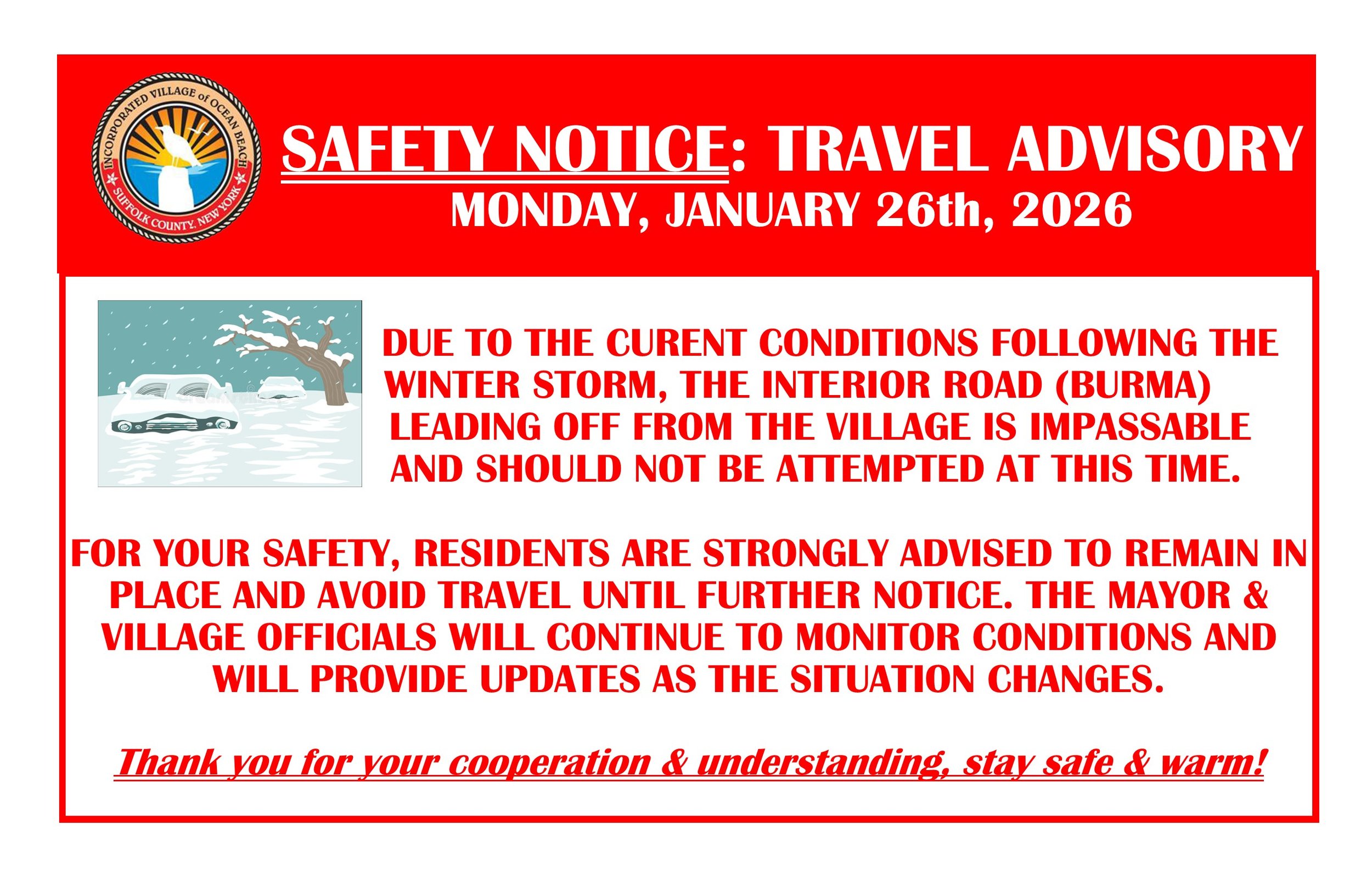
A critical component of these systems is the ability to handle tidal changes. The maps aren't static; they’re dynamically updated to reflect the current tide level, showing areas that are impassable at high tide. Some systems even incorporate real-time tide predictions.
Crowdsourced data is also playing a role. Drivers can contribute information about changing conditions, such as new obstacles or particularly challenging sections of sand. This creates a constantly evolving map that benefits the entire community. The accuracy of these systems is still improving, but they represent a significant step forward in beach navigation. The use of differential GPS, combined with local base stations, is helping refine positioning accuracy to within a few feet.
These systems don’t replace situational awareness. They are tools to enhance your understanding of the environment, not to blindly trust.
Data Fusion: Combining Sensors for Safety
The most advanced beach driving systems aren’t relying on a single sensor; they’re fusing data from multiple sources to create a comprehensive picture of the driving environment. This includes data from the AI-powered TPMS, the granular GPS navigation system, and potentially cameras that can identify obstacles in real-time.
Vehicle sensors are also being integrated. Measuring suspension travel, for example, can provide insights into the terrain and identify areas where the vehicle is at risk of bottoming out. Camera systems can detect changes in sand consistency, alerting the driver to potential quicksand or areas of deep, soft sand.
This data fusion requires significant processing power. That's where edge computing comes in. Instead of sending all the data to the cloud for analysis, the processing is done onboard the vehicle, reducing latency and ensuring real-time responsiveness. This is particularly important for hazard avoidance features, which need to react instantly.
The benefit of this integrated approach is a more proactive and informed driving experience. The system can not only alert you to potential hazards but also suggest corrective actions, such as reducing speed or adjusting tire pressure.
Rhode Island Regulations & Tech Integration
Rhode Island, like many coastal states, has specific regulations regarding beach driving. According to the Rhode Island Coastal Resources Management Council and the Department of Environmental Management (crmc.ri.gov), permits are often required, and access is restricted to designated areas. Regulations also cover speed limits and acceptable vehicle types.
New technology could significantly improve compliance with these rules. GPS navigation systems can be programmed with geofencing – virtual boundaries that prevent drivers from entering restricted areas. A system could automatically limit speed within designated zones. This would reduce accidental violations and potentially minimize environmental impact.
Data logging capabilities of AI TPMS could also be valuable. Drivers could demonstrate responsible driving practices – maintaining appropriate tire pressures, adhering to speed limits – to regulatory agencies. This could streamline the permitting process or even reduce enforcement efforts.
However, there are privacy concerns to consider. The collection and storage of location data and driving behavior raise questions about data security and potential misuse. Any implementation of these technologies would need to address these concerns and ensure driver privacy is protected.
Beach Driving Compliance & Safety: Traditional vs. Tech-Enabled Methods (2026 Outlook)
| Method | Cost | Accuracy | Convenience | Enforcement Potential |
|---|---|---|---|---|
| Visual Tire Pressure Inspection (Driver Responsibility) | Low (primarily driver time) | Moderate (dependent on driver knowledge & equipment) | Low (requires manual checks) | Low (relies on self-reporting/officer observation) |
| Traditional Beach Permit Display | Low (permit fee varies by location) | High (verifiable permit presence) | Moderate (requires physical display) | Moderate (easily checked during patrols) |
| Driver Education Programs (e.g., online courses) | Moderate (course fees, time commitment) | Moderate (improves knowledge but doesn't guarantee compliance) | Moderate (flexible learning options) | Low to Moderate (difficult to directly assess behavioral change) |
| AI-Powered Tire Pressure Monitoring Systems (TPMS) with Automated Logging | Moderate to High (initial system cost, potential data subscription) | High (continuous, objective data) | High (automatic monitoring and alerts) | Moderate (requires data access/interpretation by authorities) |
| GPS Sand Navigation Systems with Geofencing | Moderate to High (system cost, map updates, potential subscription) | High (precise location tracking, adherence to designated routes) | High (automated route guidance and alerts) | High (detailed location data for enforcement) |
| Integrated Permit/Vehicle Registration with GPS Tracking | Moderate to High (system development/maintenance, data privacy considerations) | High (verifies permit status and location) | High (automated compliance checks) | High (real-time monitoring and violation detection) |
| Remote Beach Access Monitoring (Cameras/Sensors) | High (infrastructure cost, ongoing maintenance) | Moderate (visual confirmation, limited data on vehicle specifics) | Low (passive monitoring, requires human review) | Moderate (provides evidence of activity, but may not identify violations definitively) |
Illustrative comparison based on the article research brief. Verify current pricing, limits, and product details in the official docs before relying on it.
The DIY vs. Integrated System Debate
Beach drivers have two primary options when it comes to adopting this new technology: building a custom system or purchasing an integrated, purpose-built solution. Each approach has its own set of advantages and disadvantages.
A DIY system, often built around a Raspberry Pi or similar single-board computer, offers flexibility and affordability. You can choose the specific sensors and software that meet your needs. However, it requires significant technical expertise and time investment. Reliability can also be a concern, as these systems are often prone to glitches and require ongoing maintenance. Support is limited to online forums and communities.
Integrated systems, like those offered by Overlund and SandMap, provide a more polished and reliable experience. They’re designed specifically for beach driving and come with dedicated support. However, they are significantly more expensive and offer less customization. They may also be locked into a specific ecosystem, limiting your ability to integrate with other devices.
For the tech-savvy driver who enjoys tinkering, a DIY system can be a rewarding project. For those who prioritize convenience and reliability, an integrated solution is likely the better choice. There's a growing market for modular systems that attempt to bridge the gap – offering some customization options with a more user-friendly interface.

No comments yet. Be the first to share your thoughts!